Neighbourhood Plan Maps
Claverton Village Maps
Designation Parish Map Housebuilding BoundaryThe following maps provide information on the geographical location of Claverton Civil Parish and Conservation Area and their spatial relationship with the City of Bath World Heritage Site, Bristol and Bath Green Belt, Cotswolds Area of Outstanding Natural Beauty (AONB) and other Parishes in the Valley Parishes Alliance (VPA).
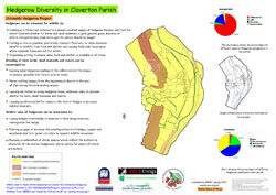
A map of hedgerows and wildlife in the Parish (produced by the Cotswolds Hedgerow Project) is also provided.
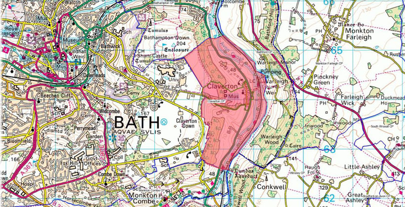
Location of Claverton Civil Parish– the A36 trunk road, River Avon and Kennet & Avon Canal run through the Parish.
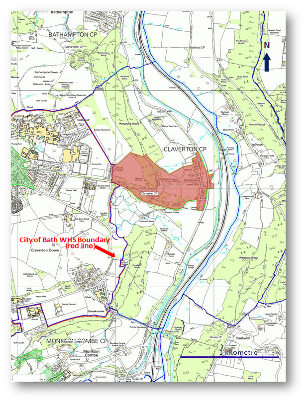
Detail of Claverton Civil Parish & Conservation Area – the western boundary of the Parish and Conservation Area forms part of the boundary of the City of Bath World Heritage Site.
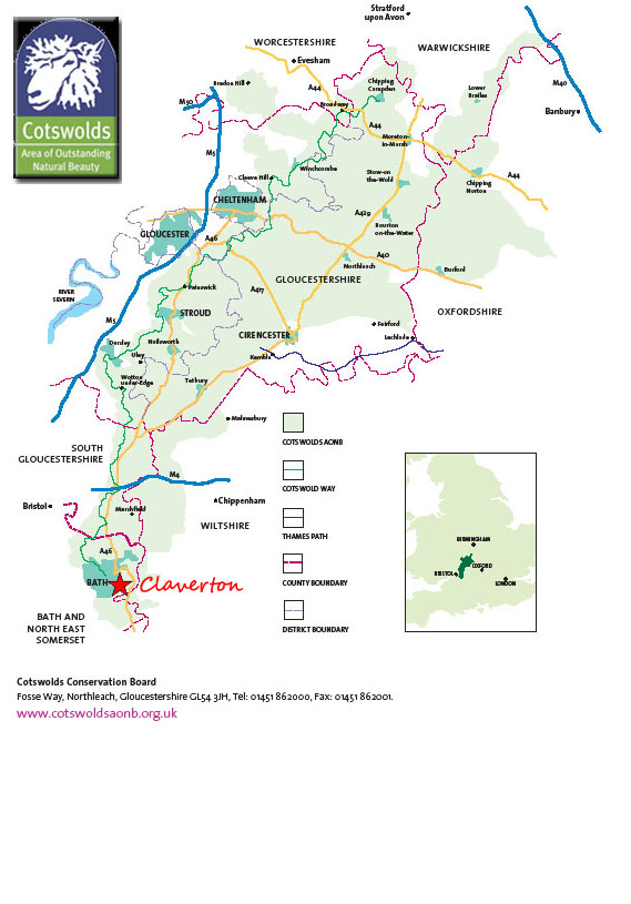
Claverton Civil Parish & Cotswolds AONB – the Parish lies entirely within the AONB.
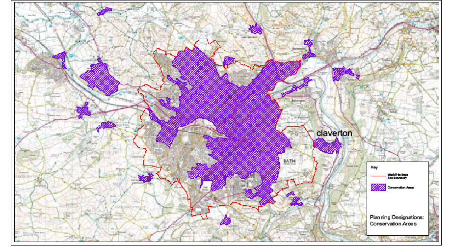
City of Bath World Heritage Site & Conservation Areas – the western boundary of the Claverton Conservation Area forms part of the boundary of the City of Bath World Heritage Site.
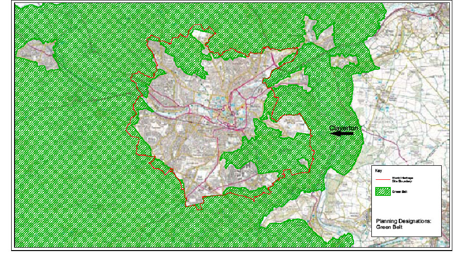
City of Bath World Heritage Site & Green Belt – the Parish lies entirely within the Bristol and Bath Green Belt.
Claverton Civil Parish Hedgerow Diversity – the Parish contains five Sites of Nature Conservation Interest.
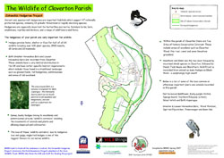
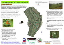
Wildlife Map of Claverton Civil Parish / Hedgerows Map
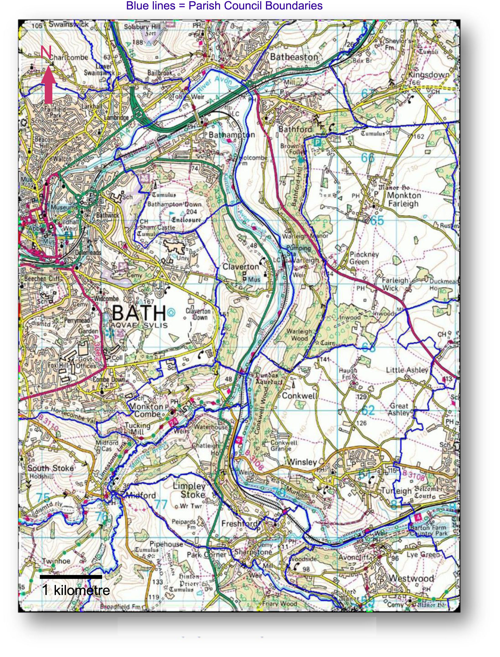
Avon & Limpley Stoke Valley Area – Claverton Parish is bounded by the City of Bath and four of the other Parishes in the Valley Parishes Alliance (VPA).
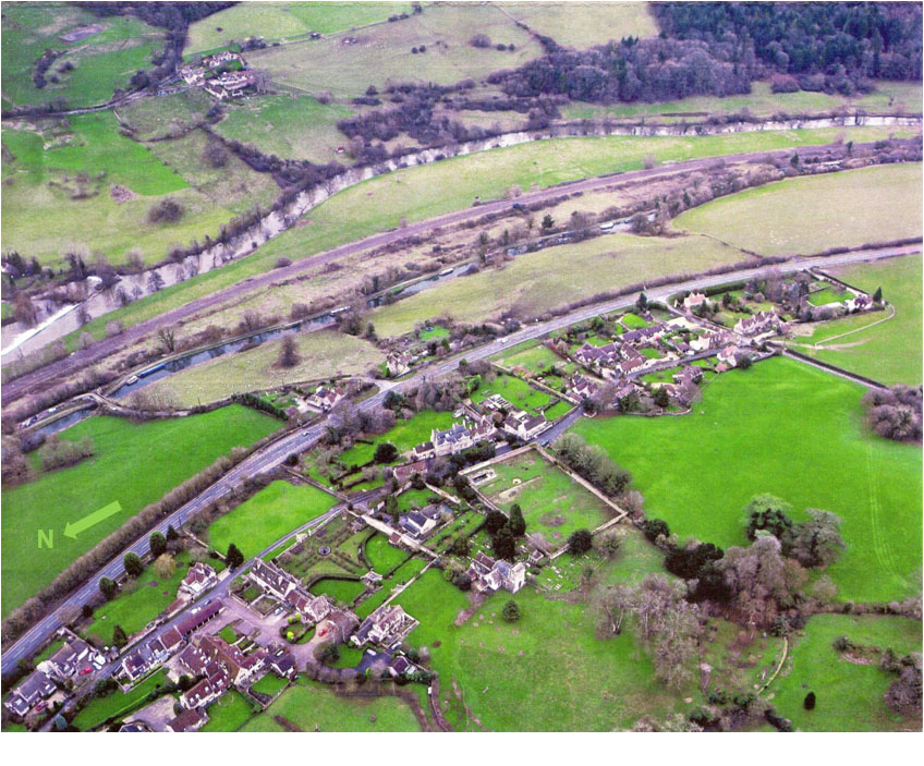
Aerial View of Claverton – River Avon, railway, Kennet & Avon Canal, A36 road and Claverton Village.